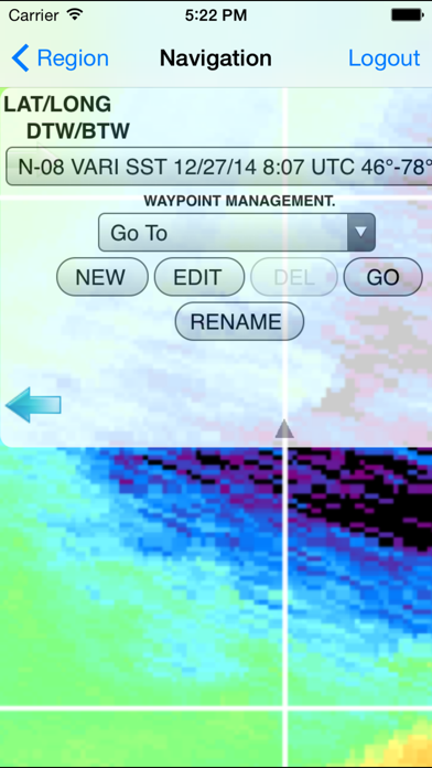
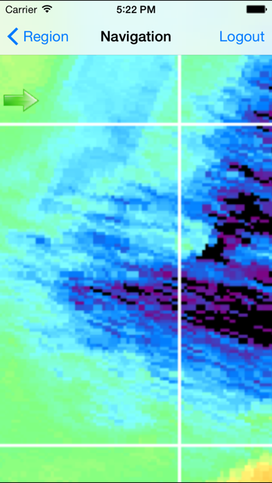
Hilton's Realtime-Navigator Mobile Navigation Application. Navigate on almost real-time imageries such as sea surface temperatures, chlorophyll, surface currents, altimetry, and salinity using your iPad, iPhone, and/or iPod device(s) as your chartplotter! Features include: -Ability to create waypoints/routes "On the fly" -Waypoint creation and editing -Map zooming -Point to point navigation -Real-time GPS location -Ability to change chart selection "On the fly" The RT-Nav app interfaces with the RT-Nav.com website to provide a platform to allow subscribers the ability to navigate on desired RT-Nav.com images using youriPad, iPhone, and/or iPod device(s) as a chartplotter. View your real-time position on dynamic maps outside of cell/internet range navigating to temp breaks (probable weedlines), color changes, or default/custom waypoints by using our touch-screen technology!